


iExit Interstate Exit Guide
iExit Software
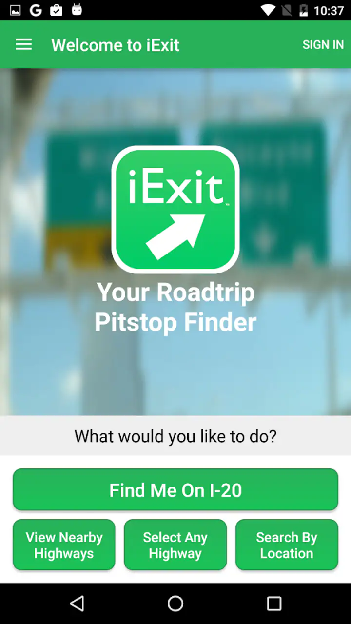
Long interstate drives are rarely difficult because of the driving itself. The harder part is making a good stop at the right moment. A fuel warning appears, someone needs a restroom, lunch is running late, or the next stretch of highway looks longer than expected. iExit Interstate Exit Guide is built for that specific problem: it helps me look ahead along an interstate and decide whether the next exit is worth taking.
After using it as a travel and local app, I see its value less as a replacement for a complete navigation service and more as a focused companion for highway decisions. The developer is iExit Software, and the app is free, rated for Everyone, and available for devices running Android 7.0 or later. Its current version is 5.5.4, while its long presence on mobile—released on March 26, 2013—makes it feel like a tool designed around a very practical driving habit rather than a general-purpose map.
What I would consider before relying on it
The first question is not whether the app is useful. It is whether your trip contains the kind of driving it was designed to support. If most of your journey takes place on interstate highways, the answer is often yes. If you mainly walk through cities, use public transport, or need turn-by-turn directions from door to door, a conventional navigation app is usually the better starting point.
I judge this kind of tool by four things: how quickly I can understand the next available stops, whether it reduces last-minute lane changes, whether it helps me plan around passengers’ needs, and whether it remains useful when I already have navigation running. On those points, the focused approach is its biggest strength. I do not have to search separately for every possible service while moving through a long highway journey.
There is also a safety consideration. I would never treat any exit guide as something to browse actively while driving. The useful workflow is to check it before departure, during a planned break, or through a passenger. That sounds obvious, but it changes how valuable the app becomes. Used in advance, it can turn an uncertain stop into a simple plan. Used while rushing toward an exit, it can become another distraction.
Related News

Why WhatsApp Messenger Still Makes Everyday Communication Feel Easy

Jurassic World: The Game Is the Better Dino Tycoon for Strategic Players

Threads in Real Life: Who Should Join, Lurk, or Leave

How SHEIN Turned Shopping Into an Endless Content Feed

How to Make Fortnite Feel Smarter on Mobile

Should You Switch to Microsoft Outlook on Mobile?
Why an exit-focused view can be better than a general map
General map apps are excellent when I know the exact place I want to reach. I can search for a particular restaurant, fuel station, hotel, or store and receive directions. Interstate travel is different. Often I do not care about one exact business; I care about knowing what choices are coming up before I commit to leaving the highway.
That distinction matters when the next exit has limited services or when the following exit is much more convenient. A normal map can answer “where is the nearest restaurant?” but a highway-specific guide is aimed at “what will I find at the exits ahead?” That makes the decision more strategic. I can compare the timing of a stop with the needs of the people in the car instead of reacting to the first sign I see.
In my experience, this is especially helpful when traveling with children, older passengers, or anyone who needs predictable breaks. It is also useful for drivers who prefer not to leave the interstate without a clear reason. The app’s role is not to make the journey more exciting; it is to remove small uncertainties that become surprisingly stressful after several hours on the road.
Gallery
A realistic trip where the app earns its place
Imagine leaving early for a full-day drive. The tank is not empty, but stopping at the next convenient opportunity would be sensible. One passenger wants coffee, another needs a restroom, and lunch should happen before everyone becomes impatient. Rather than waiting for a low-fuel warning or choosing the first visible exit, I would check the upcoming options during a planned pause.
The important benefit is not simply finding a business. It is coordinating several needs into one stop. If an exit offers the right combination of services, I can make one deliberate break instead of taking multiple unnecessary detours. If the next option is better suited to the group, I can continue with a clear reason rather than guessing.
That workflow is one of the less obvious strengths of an interstate guide. It supports the rhythm of a road trip: drive, assess, choose a stopping point, and continue. It does not eliminate every travel problem, but it can reduce the number of decisions made under pressure.
Where this app wins for interstate travelers
The strongest case for iExit is its narrow focus. It is not trying to be a social travel planner, a city guide, or a full navigation suite. Its purpose is easier to understand: help me see what is ahead on the interstate so I can choose an exit with more confidence.
That focus makes it particularly suitable for three groups. First are frequent interstate drivers who already know how to navigate but dislike discovering too late that a stop was inconvenient. Second are road-trip planners who want to think about breaks before leaving. Third are passengers who help manage the journey and need a quick way to compare upcoming options for the driver.
I also like the way this approach changes the meaning of distance. On a normal map, a place may look close in a straight line, yet reaching it from a highway can involve awkward access or a long return to the route. Thinking in terms of exits is more realistic for interstate travel. The relevant question is not just what is nearby; it is what can be reached without turning a brief stop into a major interruption.
The practical advantage is advance decision-making, not navigation itself. That is the distinction I would explain to a friend. If you expect the app to guide every turn, it will feel incomplete. If you want a clearer picture of the stopping choices ahead, its limited scope becomes a benefit.
Small habits that make it more useful
I would open it before starting a long drive and think in terms of planned checkpoints rather than continuous browsing. For example, I might decide that the next stop should cover fuel and a meal, while a later stop can be reserved for a shorter break. This prevents the common mistake of stopping too early for one need and then stopping again soon afterward.
A second useful habit is to check it when the route changes. Construction, traffic, weather, or a missed turn can alter the timing of a planned break. In that situation, an exit guide can help me rebuild the next part of the journey around available stopping opportunities instead of relying on an outdated plan.
A third is to use it as a conversation tool between driver and passenger. The passenger can review the choices, consider what the group needs, and tell the driver which exit appears most suitable. That division of work is more comfortable than asking the driver to search, compare, and make a lane decision at the same time.
Finally, I would treat the app as a planning aid rather than an absolute guarantee. Businesses can change their hours or availability, and road conditions can make a theoretically convenient exit less attractive. The app can improve the decision, but common sense still matters. If a stop feels unsafe, crowded, difficult to re-enter from, or poorly timed, I would continue to another option.
Where another type of app may fit better
iExit does not replace a standard navigation app. A navigation service is the better choice when I need live route guidance, traffic-aware rerouting, walking directions after parking, or a precise destination. If my trip is built around visiting several attractions rather than managing interstate stops, a broader map and itinerary tool will usually be more flexible.
A general map is also preferable when I already know the exact business I want. Searching for a particular hotel or restaurant can be faster there, especially once I have left the highway. The trade-off is that a general map may require more individual searches when I am comparing several upcoming exits rather than one destination.
Travelers who prefer highly detailed local discovery may also find the focused design too limited. A city guide can provide neighborhood context, attractions, reviews, and walking routes. Those are valuable once the car is parked, but they are not the central problem this app addresses. Choosing between the two depends on whether the journey is organized around the highway or around the destination.
There is another important exception: drivers who rarely use interstates may not gain enough from installing a specialized tool. Someone commuting locally or traveling mostly on rural roads might be better served by the map app already on the phone. The decision is not about which app is universally best; it is about whether exit-by-exit planning is a recurring need.
Limitations I noticed in the focused approach
The same specialization that makes the app convenient can make it feel narrow. I would not open it expecting a complete picture of every part of a trip. It is most relevant while following an interstate, and its usefulness naturally decreases when the route moves into local streets or when the main challenge becomes navigating a destination.
It also requires a little judgment from the user. Seeing an option ahead does not automatically tell me whether it fits the exact timing of the trip, the preferences of everyone in the car, or the practical ease of getting back on the highway. I still need to consider fuel, traffic, opening times, accessibility, and whether the stop is worth the interruption.
Another point is that a free app can be easy to try, but switching to it adds one more travel tool to remember. If I already have a well-organized routine with a navigation app and a passenger handling searches, the benefit may be modest. The app earns its place when it replaces repeated searching or prevents poor exit choices, not simply because it offers another screen.
What switching would actually involve
The cost of switching is low in money because the app is free, but there is still a small learning cost. I would need to become familiar with checking it before a stop, deciding who in the car should operate it, and keeping it separate from the main navigation workflow. That is not difficult, though it is worth planning so the driver is not trying to manage two apps at once.
For occasional travelers, I would install it shortly before a long interstate trip and test the basic flow while parked. The goal is not to memorize every screen. It is simply to know how to look ahead, compare the next choices, and close the app before driving again. A few minutes of preparation can make the tool feel much less intrusive during the journey.
For regular highway drivers, the switch makes more sense when stops are frequently inconvenient or when passengers have specific needs. In that case, the app can become part of a repeatable routine: review the route, choose a likely break, and reassess after each major pause. The value comes from repeated use rather than from one dramatic feature.
Its adoption is also helped by broad device accessibility. It has passed half a million installs and carries an average rating of 3.9 from roughly a thousand ratings, with hundreds of written reviews. I read those figures as a sign of a useful but specialized tool: enough reach to be established, while the rating suggests that the experience will not satisfy everyone equally. That matches my own view. The app makes sense when its exact problem is your problem.
Who should use it, and who should skip it
I would recommend it to anyone planning a long interstate drive where fuel, food, restrooms, or passenger comfort need to be coordinated. Families, road-trip groups, and drivers who dislike uncertain stops are the clearest audience. It can also help people who are comfortable with navigation but want better awareness of what lies beyond the current exit.
I would be more cautious recommending it to someone who wants one app to handle every travel task. It is not the right first choice for a city break, a walking holiday, or a trip that depends on detailed local exploration. In those cases, a broader map or travel planner will likely reduce app switching and provide more relevant context.
It is also not a substitute for attentive driving. If you are traveling alone and cannot safely review information before stopping, the app’s advantages are reduced. The best use is planned and passenger-assisted, with the driver concentrating on the road and the route.
My recommendation after using it
My recommendation is straightforward: install iExit Interstate Exit Guide if interstate stop planning is a real part of your travel routine. Its free price removes the main barrier to trying it, and its Everyone content rating makes it suitable for a broad group of travelers. The app’s strongest quality is not visual novelty or an attempt to do everything; it is the practical perspective of looking ahead by exit.
I would keep a normal navigation app for directions, traffic, and the final approach to a destination. I would use this app alongside it when the question is, “Which upcoming exit will make the next part of the drive easier?” That division of labor is where it feels most natural.
After years of mobile travel tools becoming increasingly broad, I appreciate this narrower purpose. It does not need to replace the usual alternatives to be worthwhile. For the right trip, it can prevent rushed searches, unnecessary stops, and the frustration of leaving the highway without knowing what awaits. If your journeys regularly involve long interstate stretches, this is a sensible free companion; if they do not, your existing map app may be all you need.
FAQs for iExit Interstate Exit Guide
What is iExit Interstate Exit Guide used for?
iExit Interstate Exit Guide helps drivers find useful services at upcoming highway exits across the United States. It can display nearby restaurants, fuel stations, hotels, rest areas, shopping locations, attractions, and other amenities, making it easier to plan stops during a road trip instead of waiting until the last moment or leaving the interstate without knowing what is available.
Does iExit work without an internet connection?
iExit is most useful when it has access to location services and an internet connection, since current exit information, maps, business listings, and directions may depend on online data. Before traveling through areas with poor reception, it is sensible to review your route and save important details separately. Do not assume every feature will work fully offline.
Can iExit show services at upcoming exits along my route?
Yes, the app is designed to organize information by interstate exits, allowing drivers to see what services are available ahead. Depending on the route and the data provided for a particular area, you may find categories such as gas, food, lodging, restrooms, pharmacies, and attractions. Availability and listing accuracy can vary by location.
Is iExit Interstate Exit Guide free to download and use?
The app may be available to download at no initial cost, but users should check the current Google Play Store or Apple App Store listing for the latest pricing details. Some features, upgraded tools, advertisements, or premium content may differ between versions and platforms. Always review the in-app purchase information before confirming any subscription or payment.
Is iExit suitable for planning a complete road trip?
iExit is particularly helpful for choosing practical stops along interstate highways, but it should be treated as a supporting travel tool rather than a complete trip-planning solution. It may not replace a dedicated navigation app, live traffic service, or direct confirmation from a business. Check opening hours, availability, route conditions, and local restrictions before relying on a listing.
Pros
- Shows upcoming exits with food
- fuel
- hotels
- and rest stops.
- Useful filters make it easier to find specific services near an exit.
- Works well for planning stops before reaching unfamiliar highway areas.
- Exit listings include practical business details and available amenities.
- Helpful for road trips
- especially when traveling on major U.S. interstates.
Cons
- Coverage is focused on U.S. interstate highways and has limited international use.
- Business information may occasionally be outdated or incomplete.
- Some locations may lack recent reviews or detailed user feedback.
- The app is less useful for short trips within cities or off major interstates.
- Certain features or content may depend on an active internet connection.


